The Battle of Carthage State Historic Site can be described as a nice little park with a little big of history. There is ample parking and three picnic tables but no facilities or trash bins. There is plenty of room if someone wanted to play from frisbee, catch, soccer, or tag. There is a nice open area for playing but no play equipment. There is a very short path about .2 miles that will take you around the little stream that is there. It is a nice peaceful and quiet park.
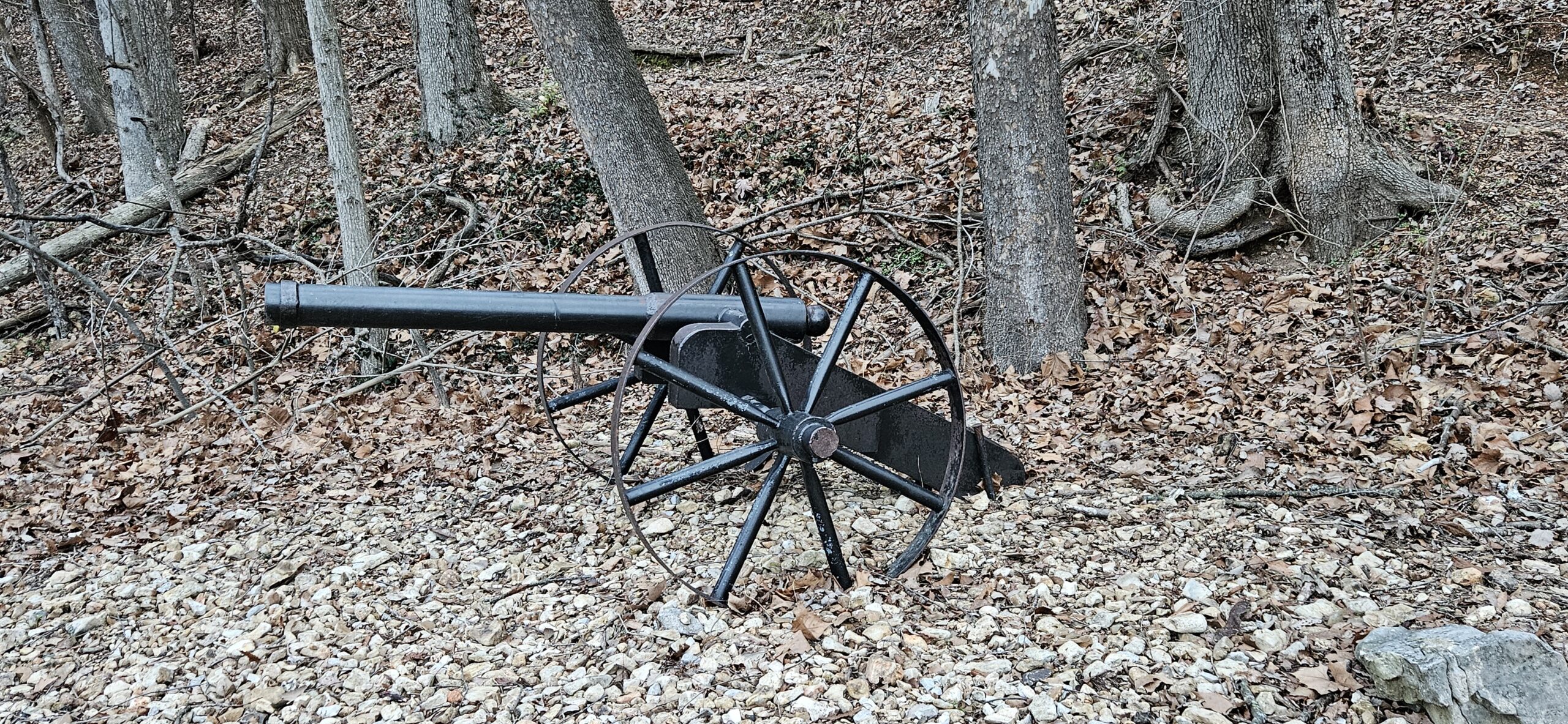
Be sure to check out the kiosk which tells of the battle that took place in Carthage.
If you have time, you might also stop in a visit the Civil War Museum just off the square in Carthage. There is a short informative movie about the battle that happened in the area and has some nice displays as well. The personnel were very friendly and full of lots of information.
Overall, a nice but short outing in between rain storms.
Devil’s Den State Park – Devil’s Den, Yellow Rock, and Devil’s Raceway
West Fork, Arkansas
April 12, 2025
It was an absolutely beautiful day for a hike. I started on the Devil’s Den trail at the entrance just passed the visitor’s center by the Lee Creek Bridge. This trailhead began with the first of many stone staircases for the day. I had the trail to myself so it was very peaceful and I was able to see the beginning of blooms such as little wildflowers and the dogwood trees. The Devil’s Den Cave is closed for exploring but it is still a nice feature along the trail. The waterfalls along the trail were running from the recent rains. This trail is moderately challenging as there are lots of rocks and stone stairways to traverse. This trail is pretty easy to follow and is a Red Diamond. I did all of the trail which involved just a little backtracking but I ended with about 1.8 miles.
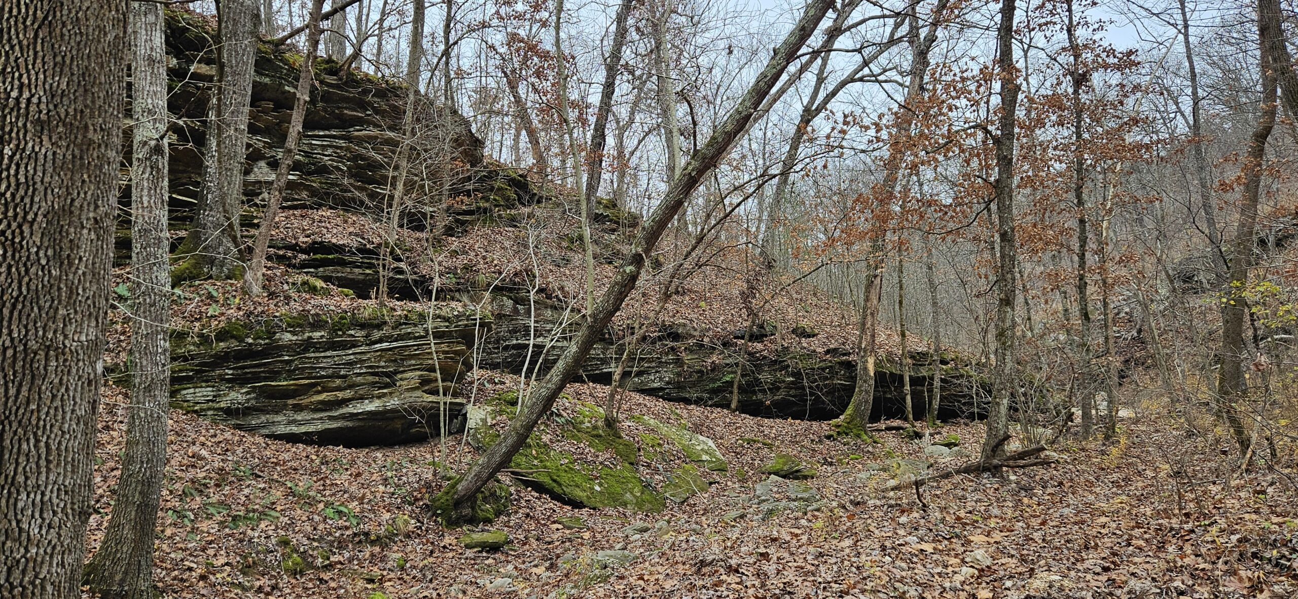
The second trail for the day was the Yellow Rock trail. I started at the trailhead on the other side of Lee Creek. From the Devil’s Den parking area, turn right after crossing the bridge and there is a small parking area for this trailhead. This area is very popular as many bikers start on the Devil’s Raceway here. This trail has areas that are very rocky and then smoother. It is a very popular trail because of the scenic overlook which allows you to see a great distance. There wasn’t a lot of blooms on this trail because it is a mostly wooded trail with great views along the way. There was a small waterfall that I crossed but the water was low enough and I was able to cross on rocks so my shoes did not get wet. I have previously done this trail before and after the scenic overlook, the trail really isn’t all that exciting but it is a nice walk through the woods. Therefore, today, I started at the trailhead, went to the overlook, and then went back to the trailhead. The trail was also becoming busier as I headed back. Going this route, I was still able to do about 1.8 miles. This part of the Yellow Rock trail will take you passed some huge rocks and overhangs and there are more stone stairs to climb but it is a very nice moderately hard trail. This trail is a White Diamond.
The last trail I checked out today was part of the Devil’s Raceway. I started over by the Amphitheater where there is a small parking area. Getting in and out here was a little challenging as the road had a deep ditch to navigate over which was probably caused from the recent rainfall. I went to the left from the Amphitheater and followed the trail to the road crossing. Going right from the Amphitheater, I came across a lot of maintenance areas and what looks like to be construction for a new camping area. This trail really wasn’t very exciting or challenging but was an easy way to end the day. I traveled through the woods and then came to an open area and followed the trail until I came to a spot where I could go down to the water and then turned back to the parking area. The only other people I saw on this trail were bikers. I did do about 2.21 miles on this trail and it was a White Diamond trail as well.
There really are no facilities at these trailheads but the visitor center is close to all of them and centrally located. It is a very busy and popular stop.
This is a moderate rated trail. I actually found it very easy to walk. There were a few rocks and roots but very little elevation. You will be under tree cover for 99% of this trail. It is about an eight mile walk. Around the three mile mark, there is some kind of open area that appears to be where some type of games are played. About four miles in you can walk down to the water. This is the only area where swimming is allowed area at the lake. No boats are allowed. There is a bathroom at this point.
When you come to the cemetery, there is another trail Umber Ridge Trail that you can take but today I just continued on the Lakeview Trail.
A little way passed the cemetery, you will be able to go off trail for just a bit at the bridge and you can walk a little closer to the water. Here you will see boats on the water.
About the last mile or so, you will come out of the trees and cross the highway and then will be back in the trees for a bit and then travel on a service road and back to the parking area.
It isn’t the most exciting or pretty trail but it is a nice get-away if you want to have some alone time. I only encountered a park employee at the swimming area. Otherwise, I was alone on the trail. I did see a squirrel, several deer, and two wild turkeys.
All in all a very nice walk in the woods.
(After returning from my outing, I was told that it isn’t very safe to walk there by yourself. Several people had been attacked. I try to do my due diligence and stay safe but sometimes you never know until after the fact. Just be aware of your surroundings. I do usually have a walking stick and spray with me in hopes of being able to defend myself if needed.)
Originally I went here to hike the Turkey Pen Hollow Trail but it was closed due to a controlled burn. So I took in some of the other trails and still managed to get in about 6 miles. When coming into the park at the main entrance there is a bathroom at the visitor’s center.
On the Dell Rim Trail you can climb the stairs and see the water tower structure which is the only thing still standing after it was burned. I followed the yellow trail (Colosseum Trail) around and saw the natural bridge and then moved over to the Carriage house and Castle ruins. Then I followed the Quarry trail around until I came to the red trail and followed it back up to the parking area.
Then I drove over and parked by the Post Office. (There is a outhouse style bathroom here). In the shelter there are game boards burned into the table tops.
I followed the Springs trail around and then down to the water and passed the Island Trail. This trail appeared to climb straight up and there were several people on it at this time so I just followed the blue then white trail back up to the parking lot.
Overall it turned out to be a very nice hike/day. There were a few wild flowers but still very few leaves and not much color. The trails varied from easy to moderately hard. There were a few steep spots and stairs but overall a very nice day.
It was a beautiful day to be out hiking in the woods. January 1st is “First Day Hike” and I decided to visit Neosho, Missouri. Although the High Ground Bike Preserve is a designated bike trail, hiking is allowed. I was the only one on the trail today until I was leaving and then others were getting on the trail.
I started at the main trailhead in the park area. I hiked counterclockwise and therefore did the Homestead Loop first. The trails were mostly dirt and smaller rocks. Once in a while, there would be a tree root to watch out for. The trail isn’t really marked but it is well worn and easily followed. I kept coming across, “DO NOT ENTER DOWNHILL AREA” signs and couldn’t figure out where they started so I could travel down. About half way around, I came to a second parking area and that is the trailhead for the Rough Rider Ridge Trail.
I did see many gray squirrels and a couple of deer while on the trail. If you start and go right, not to far down the trail you will see the ruins of a couple of buildings. Keep following the Homestead Trail and eventually you will come upon the ruins and be able to get a closeup view of them. If this was a house at one time, I would have loved to live there. You are up on the top of the ridge and can see a great distance. It would have been a beautiful view each day.
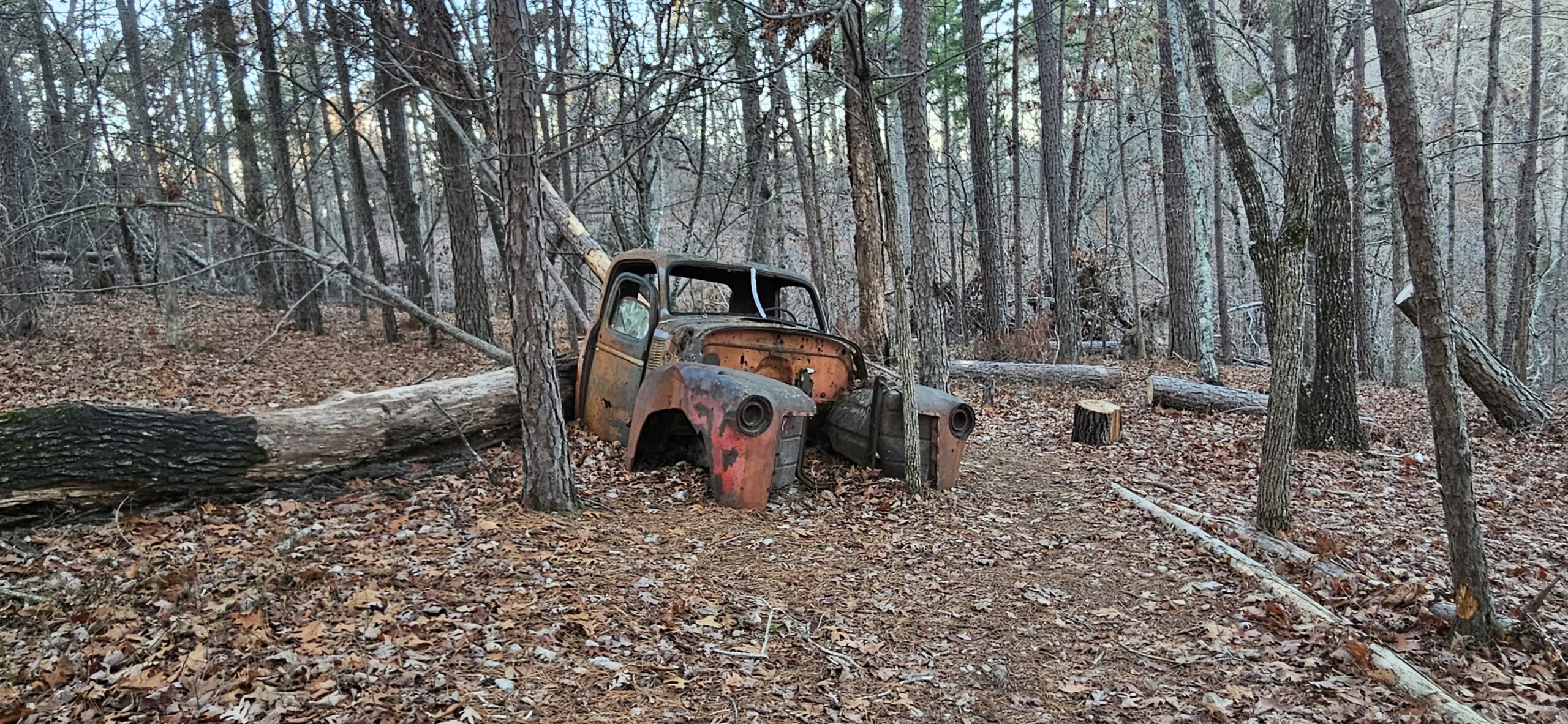
Beginning at the ruins, I started to see candy canes placed along the trail. That was a nice addition to the scenery. At times you will travel through the woods, then you may come to a clearing, or the area may become more bush than tree. It appears that there may have been a fire in the area as many of the trees had burn marks. You can also tell that at some point, there had been wind damage because there were several trees that had fallen and the trail had been cleared. I also found a lawn chair at the bottom of a ravine; in one area there were several tires just randomly placed, which was odd; and then a can just off by itself. Seeing these items in what seemed like random places makes you wonder how they got there because it would not have been an easy task to get them there. There were also old concrete chunks in odd places and a “junk/trash” pile.
After I completed the intended loop and because I was the only one on the trail, I decided to go up one of the DO NOT ENTER areas to see if I could find out there the downhill begins. I went up the La-Z-Boy Downhill and came to the area where it and the Gone Rogue and Wildcat Chase trails begin. I still couldn’t figure out how I missed seeing this area so I followed a trail that led up to them and ended back up on the Homestead Trail. (At the intersection where you can go right and stay on the Homestead Trail or go left on an unmarked trail, follow the unmarked trail and it will take you to the beginning of the downhill trails.)
This wasn’t the most exciting trail but I enjoyed every minute because it is a moderately hard trail and you will get a workout with all the ups and downs.
The Morse Park is rather large and it does seem to have lots of paved trails to walk as I saw several people walking their dogs. There are play areas, a fishing area, a skateboarding area, and several ball parks. I have a feeling that in the summer this park is very busy. I did see restrooms but I do not know if they were open.
Overall, a very nice trail and I will be returning when the ground is too wet to walk the dirt trails and see where the paved trails lead. This was a great way to start the new year.
Today I hiked the Pike Hollow Trail which is rated a moderate trail but I really didn’t find it to be very difficult. It started out in mowed grass, then dirt and some rocks, with very few inclines. The spider webs were HORRIBLE and I felt like a mummy wrapped in webs. It wasn’t the most exciting trail but it was nice to get out and explore another area. I did manage to scare up a wild turkey, racoon, turtle, squirrel, and a deer. There was a small creek crossing a couple of times but it was easy to cross without getting wet. For the most part it was a completely shaded trail. It did have a few outcroppings and an overlook area.
Soon after the trail starts you will see the Pinwoods Trail but keep to the left and follow the Pike Hollow Trail. A little later you will come to a white trail. This is the connector trail and is a very easy dirt trail. I followed the Pike Hollow Trail and about half way around you will come to the white connector trail again. When I reached this point, I did follow the white trail down and back up just to say I had covered it too. Then I continued on the Pike Hollow Trail. Toward the end of it you will connect with the Pinwoods Trail. I kept to the left and followed it to the end. Then I was back at the beginning and walking the gravel Pinwoods Trail.
It was a somewhat eerie feeling when the first sign you see is to be bear aware. Luckily I didn’t see any. The Pike Hollow Trail is about 4.5 miles and the Pinwood Trail is about .6 miles. It took me 3 hours to hike the Pike Hollow Trail and that was mostly due to the fact that quite often I had to stop and remove the cobwebs and spiders from me. The Pinwoods Trail only took about 11 minutes.
On the drive down and back, I did see a couple of deer, a rabbit, racoon, fox, and squirrel.
At the start of the trail there are a couple of picnic tables and a primitive restroom.
I have a few more photos from these trails on the Facebook page
The plan for today was to hike the Turkey Pen Trail, but when I arrived I discovered that there was a little nature trail at the parking lot and the Acorn Trail and the Devin’s Kitchen Trail all were within the circle of the Turkey Pen Hollow Trail so I decided to hike them all. In total that put me at about 10 miles for the day.
It was a beautiful day. The temperature was 30 – 40 while I was out. There was a little breeze once in awhile that was cool but overall, very pleasant temperatures for hiking.
I saw two people at about the 3.5 mile marker and then at about the 6 miles marker I came across a single person on the Turkey Pen Hollow Trail. Other than these encounters, I had the trails to myself. At times you will be far enough away that you won’t hear any traffic. Because of the time of year, I heard very few birds. I did come across a deer on the Acorn Trail and a doe and fawn on the Devin’s Kitchen Trail. A few squirrels were here and there on the trails.
The Turkey Pen Hollow Trail does have controlled burning at times so this was my second time to try and hike it. If it is closed, the parking lot will be marked off so parking is not allowed. If this parking lot is full, there is another parking lot to the right and one to the left that you may be able to use.
There is a visitor’s center at the entrance of the park that has a bathroom. Or at the end of the Devin’s Kitchen Trail there is a primitive bathroom and picnic shelters.
This park is very popular so planning ahead for crowds is advised.
It was a beautiful day for a hike today. I traveled over four different trails beginning with the Bashore Ridge Loop at sunrise (about 7:30 am) today when the gates were opened to the parking lot. There is quite a bit of parking at the Bashore Ridge Loop Trailhead and there is also a parking lot across the road. Based on the size of the parking lots, I’m pretty sure the Bashore Ridge Loop, Dutton Hollow Loop and the Little Clifty Creek Loop are very popular. There is a vault bathroom in the parking lot. I wasn’t able to travel the Little Clifty Creek Loop today as it was still closed from the tornado damage to the trail earlier this year. The park crew and/or volunteers have worked a lot of hours to get the Bashore Ridge Loop and Dutton Hollow Loop cleared for visitors. You could see the destruction all along the trail. I can only imagine how beautiful these trails were but they were still very pretty today.
I traveled on the Bashore Ridge Loop first and went counter clockwise. This is rated a moderate trail but I found it very easy to travel. It is a rocky and tree root trail. I did walk down to the Beaver Lake Overlook and was able to get pretty close to the water. It was very pretty at the water and it was early enough in the day that the fog was gliding over the water. I did meet two other people at this area. Other than that encounter, I had the Bashore Ridge Loop and Dutton Hollow Loop all to myself.
When I got back to the Bashore Ridge Loop and Dutton Hollow Loop intersection, I followed the Dutton Hollow Loop in a counter clockwise direction as well. This trail is rated as easy but I really found it about the same as the Bashore Ridge Loop trail. When I was at the bottom of the hollow, I did come across a couple of deer and a chipmunk. These were the only wildlife I saw all day.
There is a shooting range close by and because of the noise, this may be the reason there is very little wildlife to see. I did hear a couple of birds but even they weren’t singing. This may also be because it is winter right now. Overall, I found these two trails very nice to travel over.
From here I went about a mile away and visited the Historic Van Winkle Trail and Sinking Stream Trail. These also must be very popular trails as I did encounter three different families here. The parking lot is large, there is a vaulted bathroom and a picnic table here.
The Historic Van Winkle Trail will be paved for the first little bit and then it will become small gravel. There are signs along the short easy trail that tell the history of the area. There isn’t a lot to see but there is a small stream that runs through the area.
The Sinking Stream Trail is also an easy trail and is gravel, small rocks, and dirt surfaces. This time was loaded with so many frost flowers. (I did find frost flowers on all four trails today.) The trail follows and crosses the stream but you will have bridges to use to cross over the water. This trail was probably the quietest one for the day. It appears that during the spring/summer months, you will be able to find lots of flowering plants.
The day may have started out about 24 degrees but it was sunny with very little wind and ended about 35 degrees.
The Bashore and Dutton Hollows Loops are about 4 miles each. The Van Winkle and Sinking Stream Trails are about ½ mile each. On each of the trails, there are a few benches scattered along the trail but they are few and far between.