Bentonville, Arkansas
May 31, 2025

Today’s goal was to find the Boneyard Trail and by finding it, I also traveled parts of or completed several other trails. I started this hike near Crystal Bridges and was greeted in the parking lot by “Sassy”. A statue made of metal bicycle parts. This path today was paved until I reached the Razorback/Urban Trail intersection even though I did travel the dirt part of the All-American trail to reach the Razorback/Urban Trail intersection.

The All-American trail was the only trail that is classified as an easy trail. The Razorback Ridge, Urban Trail, Angus Chute, and Boneyard trails are considered moderately hard trails. The Master Plan and Black Limousin trails were both considered hard trails. I did find the Black Limousin trail to probably be the hardest of the two but only in the fact that it was very narrow and on the side of the hill/mountain for most of the way.
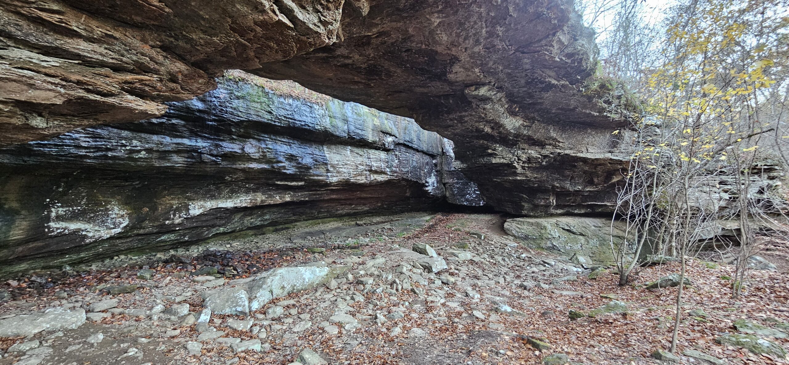
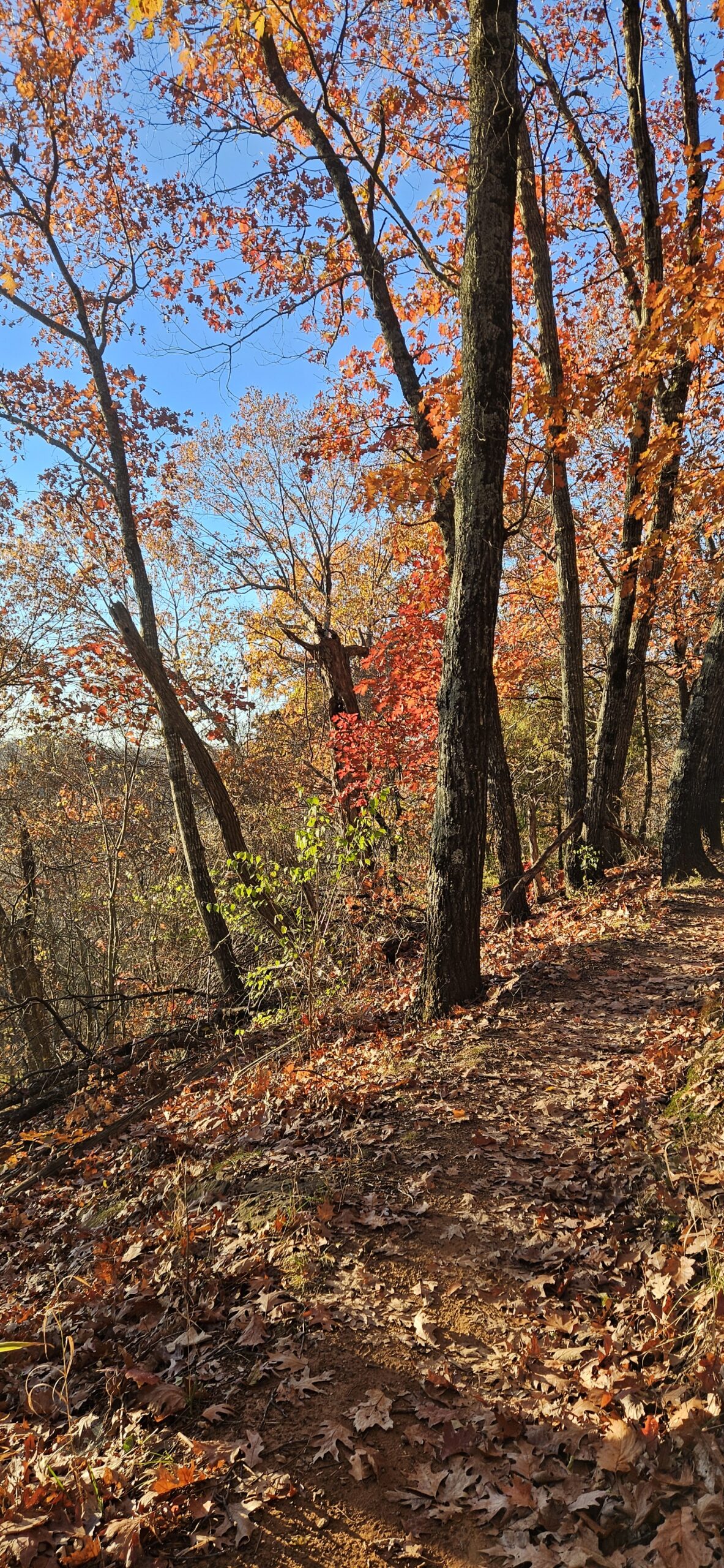
I did come across a set of stairs that I ended up climbing a couple of times. At the top of one hill, there was a rhinoceros and I just had to climb the hill and get a better look. The trails were a little muddy and wet in places but really not bad considering all the rain that the area has had recently. I was able to walk without getting my shoes all muddy.

These trails are used for hiking but bikers use them mostly and therefore there are lots of ups and downs and steep ups and downs. There were several places that were rocky and others that were just dirt. I was in the trees/shade 99% of the time. It was a very nice hike but I did hear the traffic in the distance and there was a lawn mower somewhere that I was hearing. I didn’t really see many animals, just a couple of rabbits and heard a few birds. I only encountered one other person once I entered the wooded trails. The paved part of this route is rather busy with walkers, runners, and bikers.
There are no facilities in the area so plan accordingly. I did manage to get about 4.5 miles of hiking. Overall, a very nice day and a great hike. I got a very good workout.
I have more photos from my hike on my Facebook page at https://www.facebook.com/profile.php?id=61571357578836