November 29, 2024
The original plan was to hike the Mount Kessler Loop that the AllTrails app had but I lost GPS and signal early on so I wondered around and still managed to do about 10 miles. I really enjoyed my hike. The trail isn’t really marked well. You will find trail markers where the trail intersects but that is about all. If you hike when the leaves have fallen and cover the trail, like the conditions were for me today, you will need to watch for the path. It is still visible but in some places you will need to look hard. I would recommend downloading a map before you go or have a paper map with you. On the way back to the parking lot, I did come across a trail map which was helpful but at about the same time, I also had cell service again.
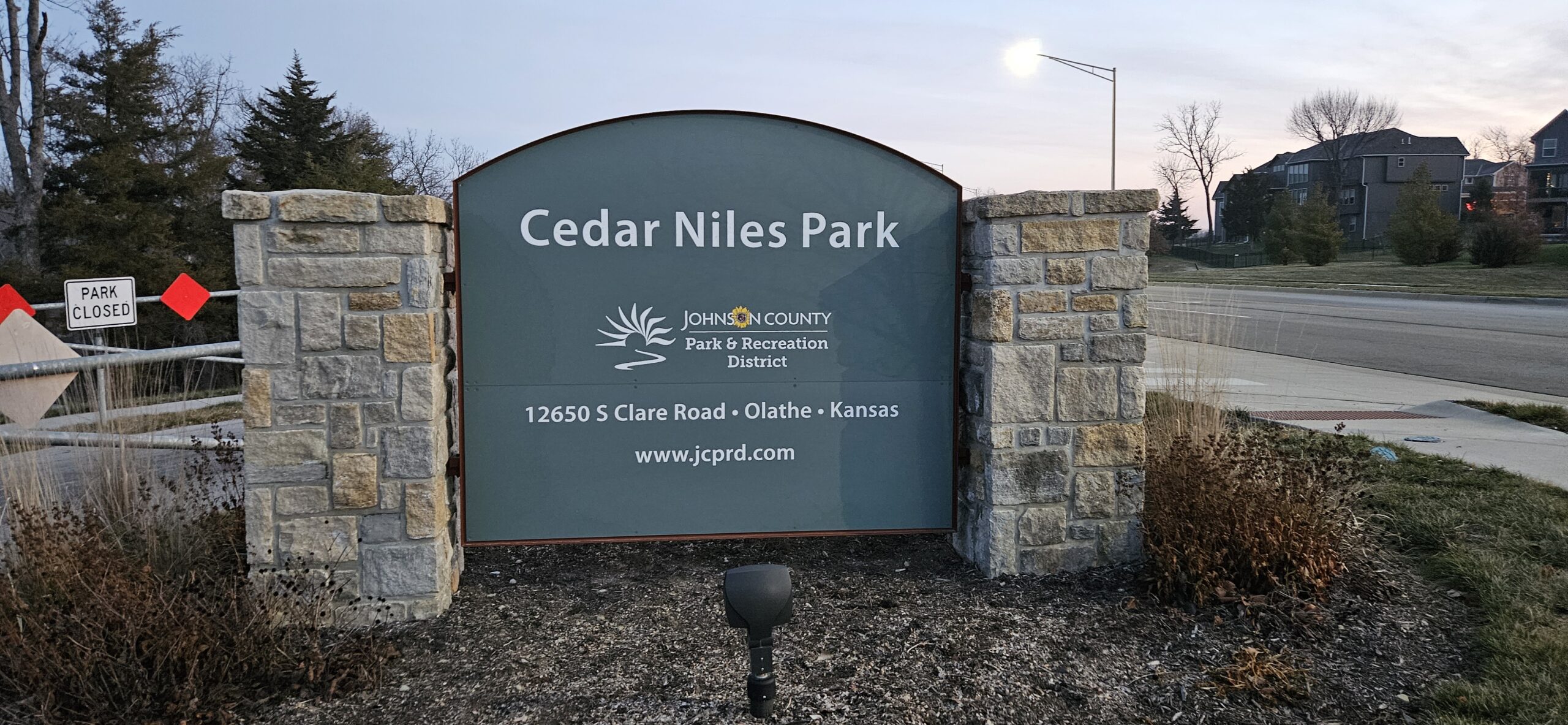
The trailhead isn’t really marked. When you pull into the parking lot where the AllTrails app takes you, you will see a “gravel” road and a path to the left with a wooden bridge. Take the path with the bridge. Soon you will come to a marker the has Last Call and Saddle Up, this is where I started. When you reach the edge of the woods, the Last Call trail is to the right and Saddle Up is to the left. They will intersect shortly on down the trail.
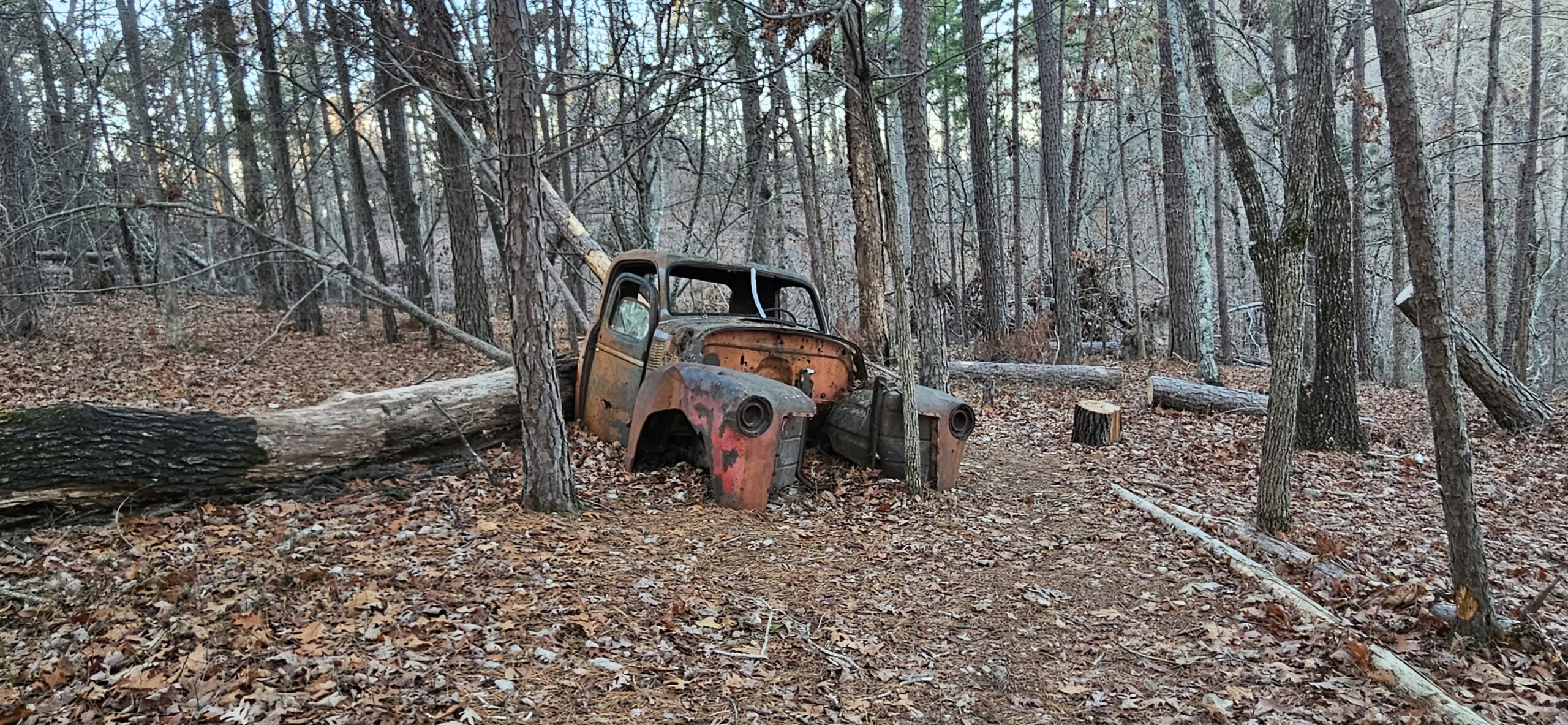
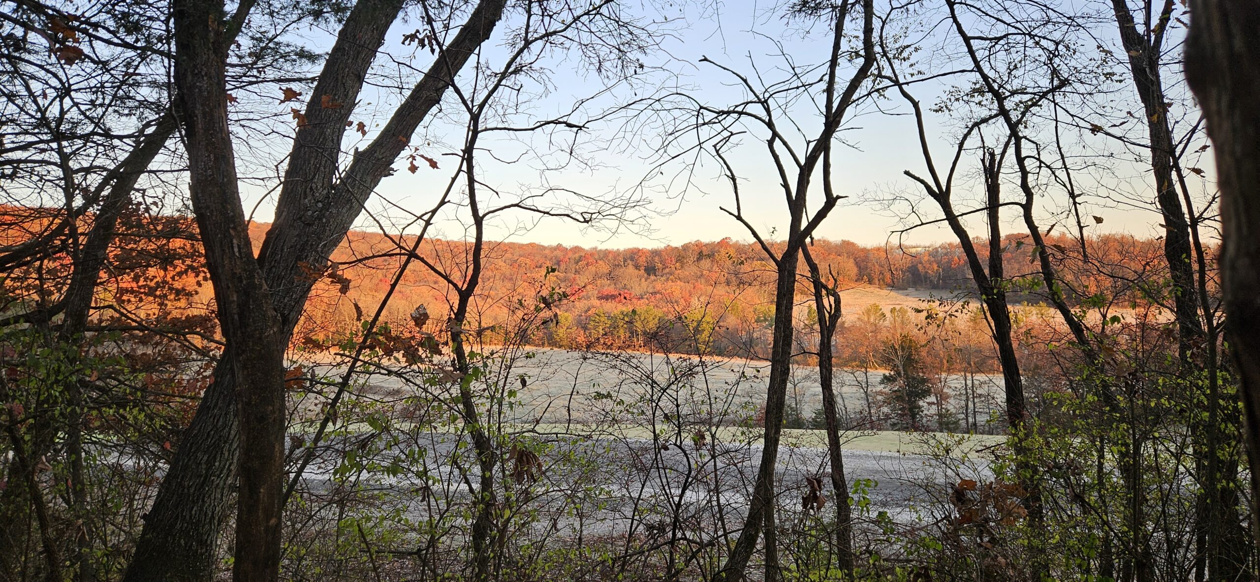
When I reached the intersection of Terrapin Station, Crazy Mary, and Fayetteville Traverse, I lost reception. I ended up following the Fayetteville Traverse Trail all the way to the road where it ends/begins with the parking lot. I was very glad I followed this trail as I came across an abandoned cabin, and because I started out on a 25 degree morning at sunrise, I came across some frost flowers at the top of the mountain in the clearing. After the flowers, you will come to an intersection of Rock City, Flight Training, and Fayetteville Traverse. Here I followed the Flight Training/Fayetteville Traverse trail all the way to the road. I turned back and because I had only seen one other person on the trail so far, I followed the trail that says One Way Do No Enter. This is a hard trail and if it is a busy time, I would definitely not recommend doing this as it is very steep but a great work out. You will need to back track the way you came, back to the intersection of Rock City, Flight Training, and Fayetteville Traverse. Once reaching this intersection again, I followed the Rock City trail and it lives up to its name. It is a very rocky trail but has lots of rock formations and very pretty today.

I took the Egg Beater trail to the Western Myth and then on to Spell Bound. This was also a challenging route to take. After Spell Bound, I took the Western Myth back to the intersection of the Goat Trail. I made my way back to the Serpentine, Trent Trail, and Fayetteville Traverse trails. Following the Trent Trail will put you back on the Terrapin Station trail and back to the intersection that will lead back to the parking lot.
If you want to follow this route, this is the best I can do for a description as I was just wondering around trying to find my way back but loving every minute of the hike. I was doing mostly moderate to hard trails. I do hope to go back one day and try to the Loop which was the original plan. I believe the Terrapin Station and Crazy Mary trails will take you passed some really neat rock formations.
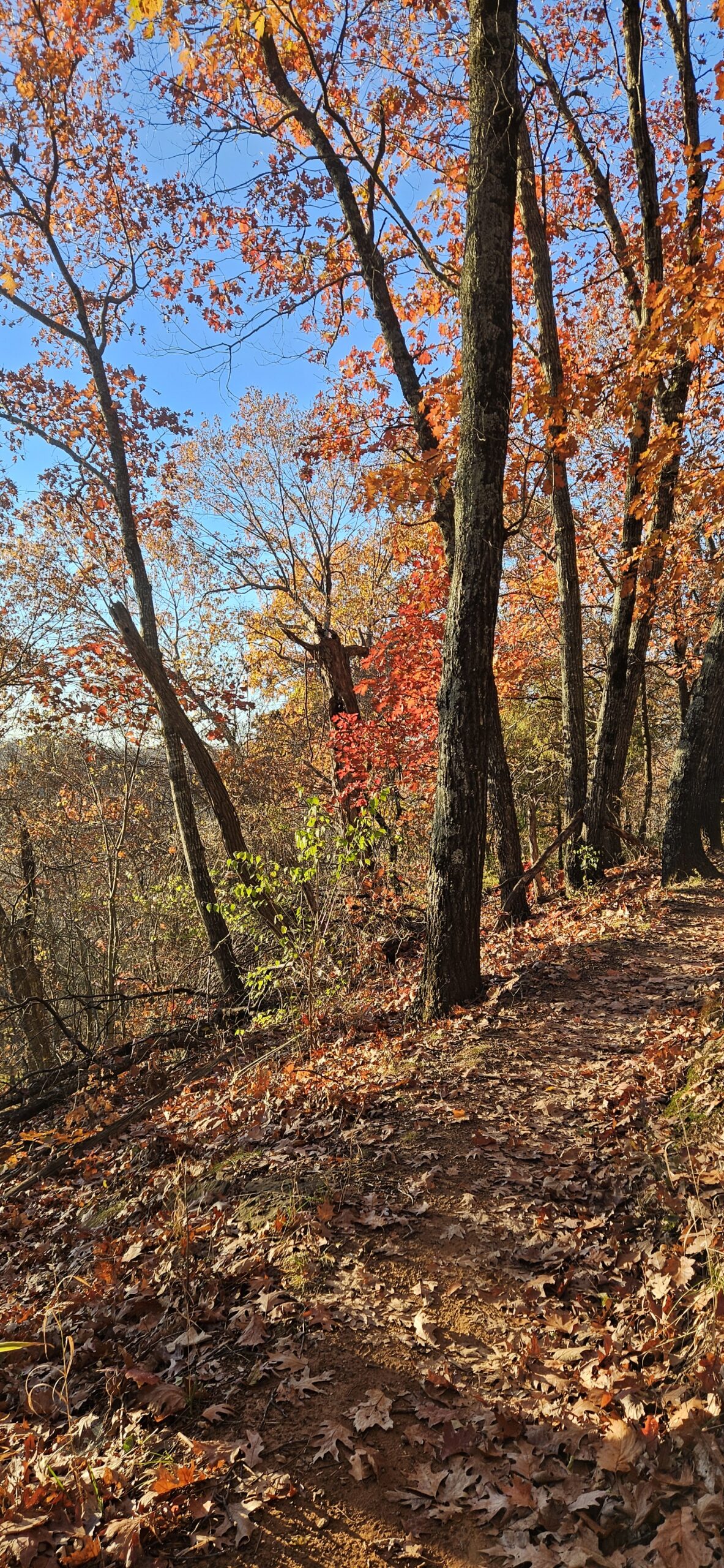
It was a beautiful day today and by the time I ended it was about 44 degrees and I had taken my gloves and hat off. There was barely any wind. You couldn’t have asked for a better day to hike. At the end I did meet two bikers that were just started out so all in all I had the trails to myself today.
I did see a couple of deer near the parking lot at the first, but along the trail for about the first hour or so I saw many others here and there. The gray squirrels were in abundance.
I have a few more photos on my Facebook page https://www.facebook.com/profile.php?id=61571357578836